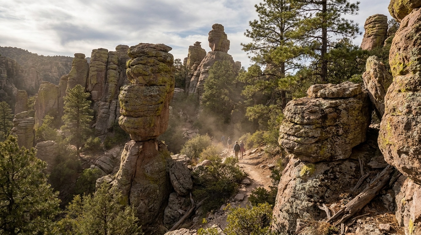
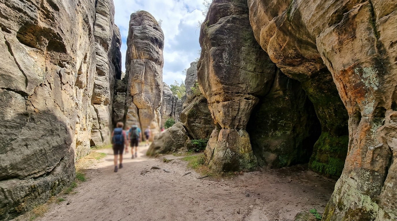
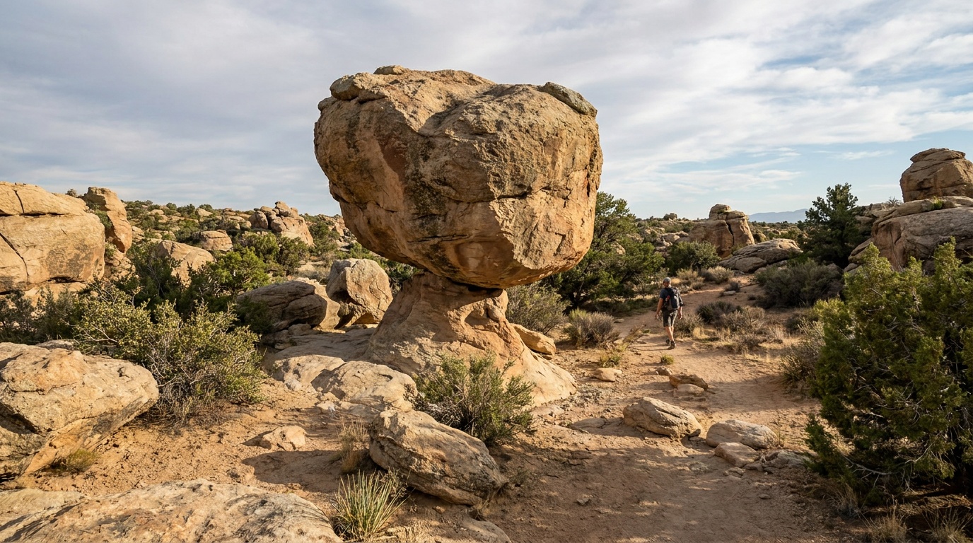
Bonita Canyon Campground
Details- Booking
- Reserve on Recreation.gov, up to six months ahead.
- Season
- Open year-round; check current conditions in winter.
- Sites
- About 25 sites for tents and smaller RVs, with a length limit.
- The only campground at the monument. Small and popular, about $12 per night, so book ahead.